HIKE DATE: SATURDAY OCT 24
HIKE START TIME: 9:00 AM from Trailhead. Please be at the Tr
TRAILHEAD: 3 miles south of US Hwy 50 in Cañon City on Temple Canyon Rd/Fremont Co Rd 3.
You can search for "Temple Canyon Trailhead" in Google Maps. Alternatively, GPS/Map Coordinates for the Trailhead are: 38.4044457, -105.2710501 You can copy those coordinates & paste them directly into the SEARCH box of either Google Maps or Apple Maps to find this location on a map, then click DIRECTIONS for driving route and turn-by-turn directions. You may be able to do the same thing on your vehicle's onboard navigation. (See also Driving Directions below.)
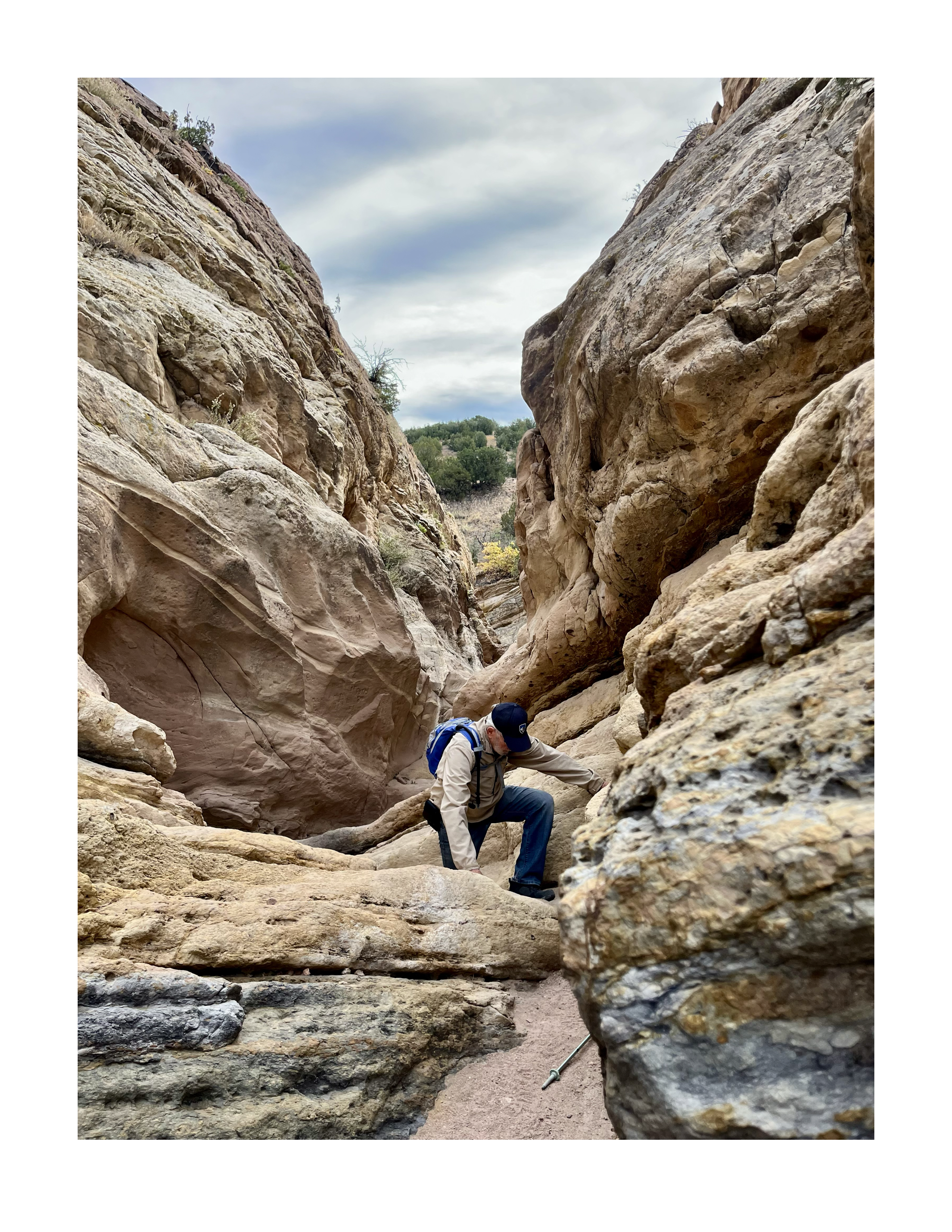
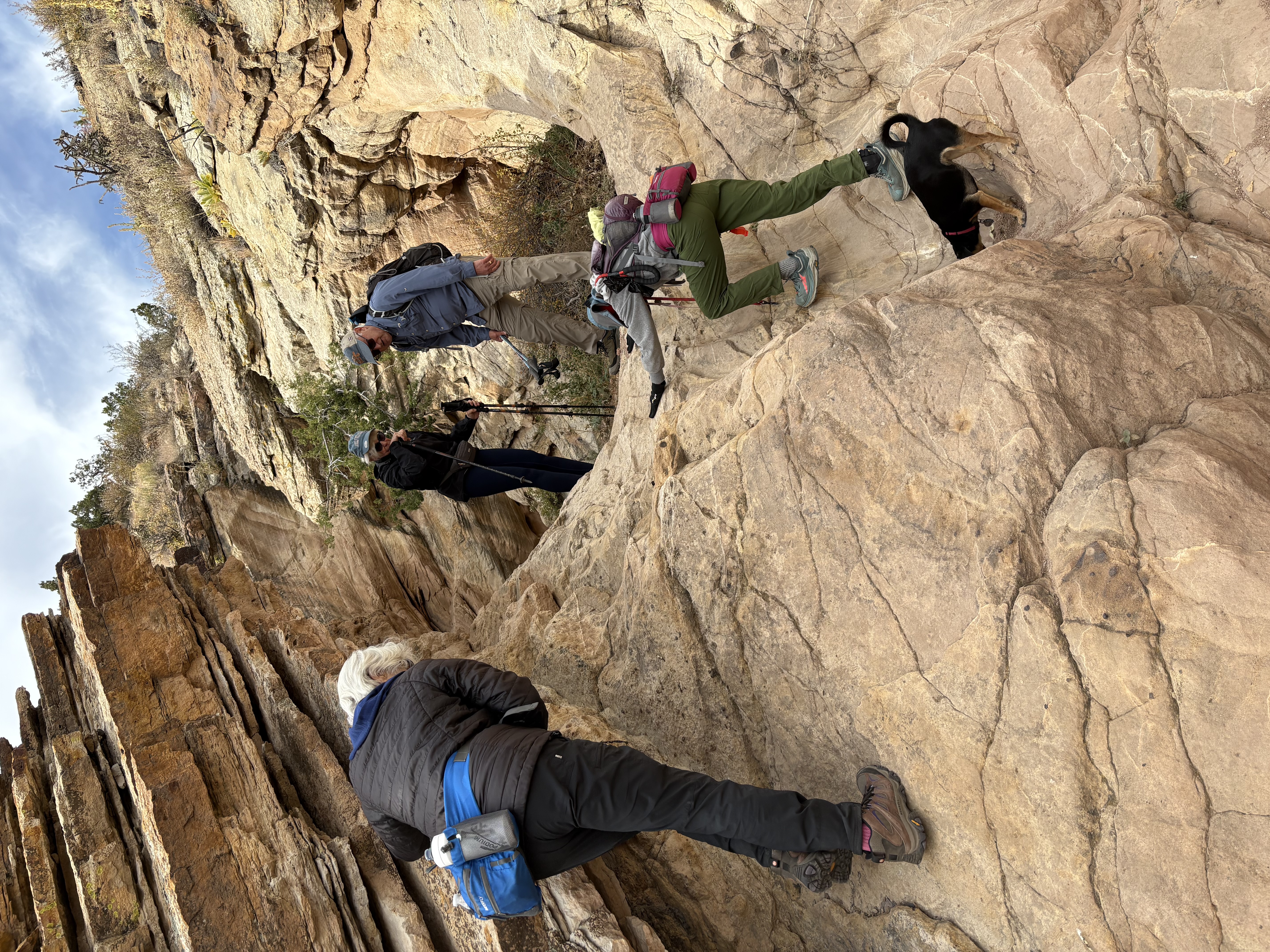
HIKE DESCRIPTION: This is one of our all-time favorite hikes. A secluded desert canyon with interesting rock formations, including an optional slot canyon. Beautiful desert vegetation and views of surrounding areas. Mostly open and sunny.
HIKE DISTANCE: 5 miles
ELEVATION GAIN: 625 ft
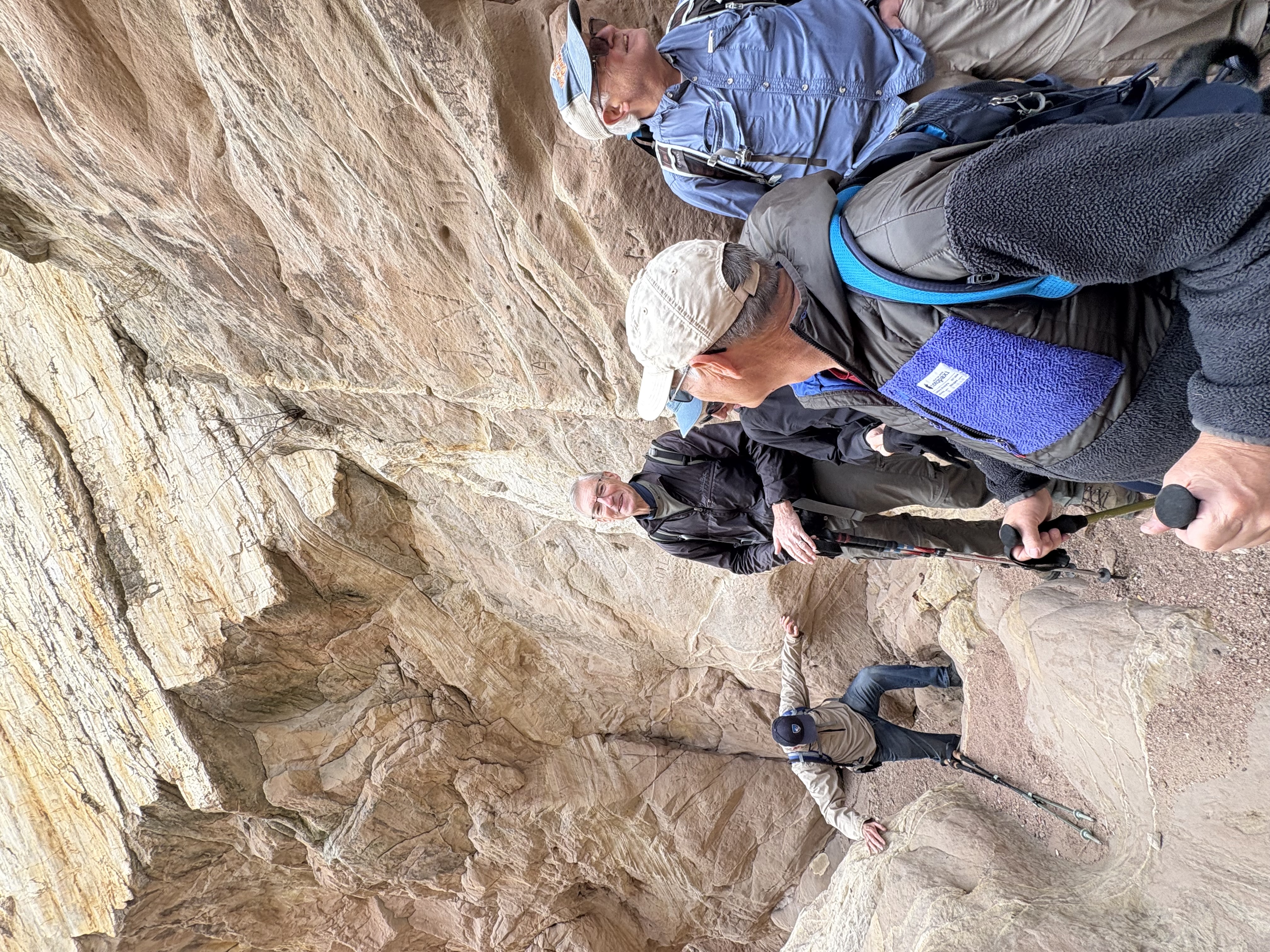
EST DIFFICULTY RANGE: Moderate (loose and embedded sand/pebbles/rocks on trail, short uphills and downhills plus one longer descent). The slot canyon is short but it requires some fairly simple bouldering - it is Moderately Challenging and it is optional (there is a short Moderate walk-around).
HIKE POSTER: Dan Zeddies dzeddies@zoho.com 719-659-
The hike poster is not responsible for carpooling to or from the Trailhead. You can tell the hike poster if you are interested in ride-sharing and your contact info info may be shared with other hikers who have expressed an interest in ride-sharing.
TRAIL CONDITION: Generally Good - packed dirt, embedded or loose small and medium size rocks, loose sand/pebbles on some short uphills and downhills (and one longer descent on "the Shiv"). If there is rain near the hike date there may be muddy spots - we walk through mud if necessary to
avoid creating walk-around social trails.
WEATHER: Check weather forecast for the hike area & dress accordingly, including a hat & other sun protection, plus rain gear if rain is forecast. Clothing layers for expected temperature range & wind usually work best.
HIKER PREP/EQUIPMENT: Bring plenty of water - on a hot sunny day 2+ liters probably would be appropriate for most hikes over a few miles. Hiking boots/shoes & hiking poles probably would be considered necessary for any hike that is Moderate or Challenging, as well as for Easy hikes unless they are on relatively level paved trails or clean packed dirt.
RESTROOMS: None at Trailhead. In Cañon City: Try Alta/Exxon Convenience Center, 420 Royal Gorge Blvd/US Hwy 50 (corner of So 5th St, 5 blocks before we turn left/south on So 1st St) Coordinates: 38.4397463, -105.2400756
PETS: Dogs are OK (bring a leash). Owners clean up after them.
DRIVING DIRECTIONS TO TRAILHEAD: From CO Hwy 115 (So Nevada Ave) & So Academy Blvd, drive south on Hwy 115 about 30 miles to US Hwy 50 in Penrose. Take ramp on right onto US 50 West toward Cañon City. Go west on Hwy 50 about ilp12 miles thru Cañon City (in town the road is called "US Hwy 50/Royal Gorge Blvd") to So 1st St. Turn left (south) on So 1st St and continue 1.1 mile to Temple Canyon Rd/Co Rd 3 on right. Turn right onto Temple Canyon Rd and drive 1.9 mile to Temple Canyon Trailhead. GPS/Map Coordinates: 38.4044457, -105.2710501